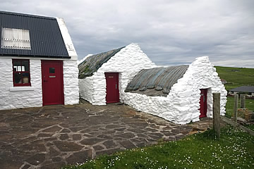

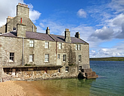
The Lodberries in Lerwick and Clickimin Broch, colourful houses and the "Shetland Bus" in Scalloway.
Shetland pages:
Sumburgh Head, Ness of Burgi, Jarlshof
Old Scatness, St Ninian's Isle, Mousa
Lerwick, Scalloway
Eshaness, Stanydale Temple
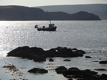
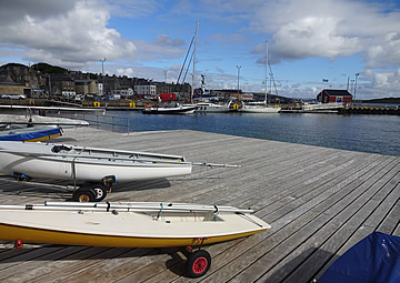
Lerwick, on the east side of Mainland, has for centuries been a fishing port due to natural harbour and abundance of fish in the seas surrounding the island. Fishing became established here as a trade as early as Viking times in the tenth century and Dutch fisherman were trading with Shetlanders in the twelfth century. Later Hanseatic merchants set up booths to trade a variety of goods including fishing gear, salt, alcohol and tobacco in exchange for local produce such as fish, butter and knitwear.
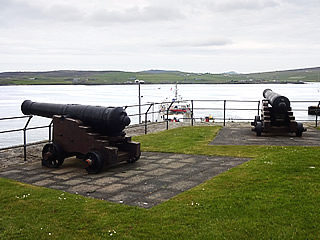
The excellent harbour also meant that Lerwick was involved in many conflicts and a fort was built around 1652 during the First Anglo-Dutch war. A more substantial fort replaced it in 1665 during the Second Anglo-Dutch War, this one burned down by the Dutch in1673.
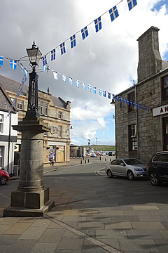
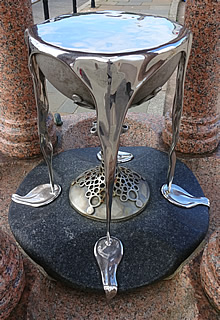
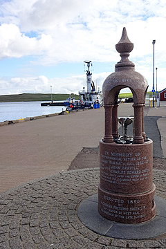 Memorial to the return of the Whaler Diana which had been trapped for over six months in the Arctic ice, 1866-67.1
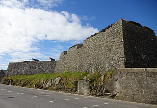
The current fort was built in 1782 and named after the wife of George III and called Fort Charlotte.
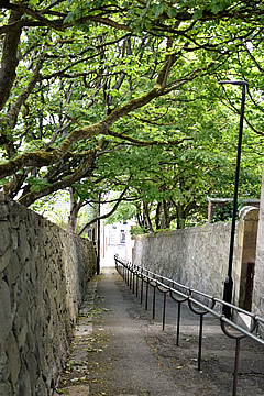
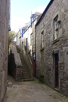
Fort Charlotte stands on the north side of Lerwick overlooking Bressay Sound. The town itself spreads inland from the harbour area with steep narrow lanes running up from Commercial Street, the hub of the town.
One curious aspect of the town is the number of streets that have been renamed. According to the assistant in the Tourist Info this happened in the 19th century for no apparent reason! So Lochend's Closs became Chromate Lane, Betty Mann's Closs was changed to Crooked Lane, Baker's Closs to Mounthooly Street, Steep Closs to Hangcliff Lane.
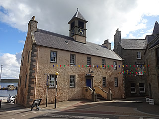
The buildings are rather grey, not too bad in sunshine but rather grim in bad weather. Of which there is probably rather a lot. We were extremely lucky to catch days that were at least partly sunny, but it was still rather cool for my liking.
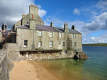
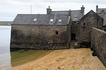
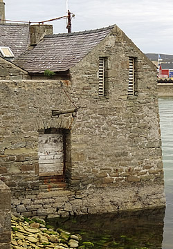
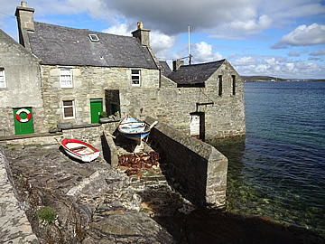
The south side of the town is more picturesque, especially as here the only lodberries survive. These are working buildings, built over the sea, where boats could be loaded and unloaded directly via an opening in a wall on the seaward side. They included stores and houses on the landward side with perhaps a small private pier and a shop. Underneath are reputed to be tunnels to smuggle illicit goods from the boats.
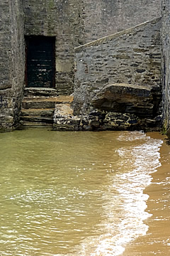
The Lodberrie is the most famous of these, as the fictional home of Detective Jimmy Perez in the Shetland series of books by Anne Cleeves.
Lerwick is famous for its winter fire festival, Up Helly Aa, which takes place on the last Tuesday of January each year. Though Shetland's biggest, there are other fire festivals held elsewhere in Shetland.
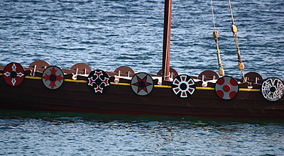
In Lerwick the festival has grown hugely and now involves hundreds of participants in elaborate costumes. The main event is an evening march to the harbour, the participants holding burning torches aloft, where a lovingly created replica Galley is burned.
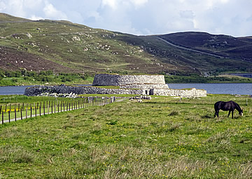
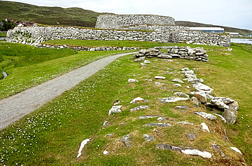
Clickimin Broch stands at the tip of a tongue of land extending into Clickimin Loch. Iron Age Brochs can be found all over Shetland, stone-built double-walled towers which are thought to have been at least partly used as watch towers.
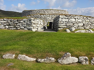
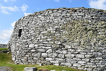
Clickimin was built around 100 BC and originally occupied an island in the loch, later reached by a causeway.
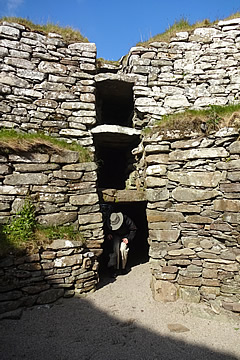
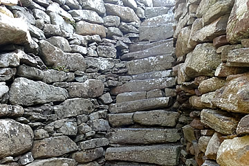
Inside there were several wooden floors, reached by a staircase between the double outer walls, so that quite a few people could have lived here.
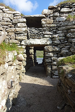
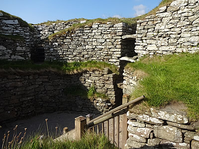
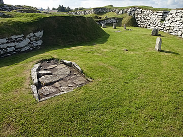
Surrounding the broch, within the enclosing wall, are the remains of a number of domestic buildings - it was quite common for these Iron Age brochs to have dwellings clustered beneath their walls.
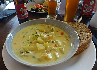
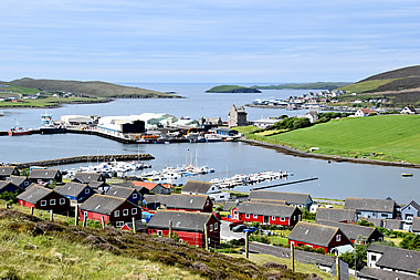
Scalloway is a rather nice town on the west side of Mainland Shetland. The Vikings colonised Shetland around 800AD and named the settlement "Skalavagr" meaning "Bay of the Hall, suggesting there may have been a Viking Chieftain's Hall here.
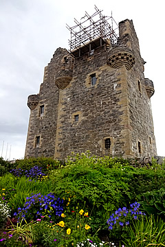
Scalloway was once the capital before Lerwick took over this role. It has a ruined castle, built towards the end of the 16th century, closed at the time we were there due to Covid restrictions.
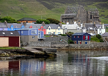
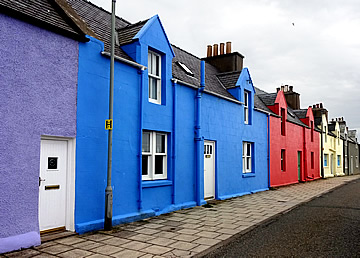
The colourful houses of New Street date from the mid 1700s, though most are late 19th/early 20th century.
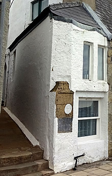
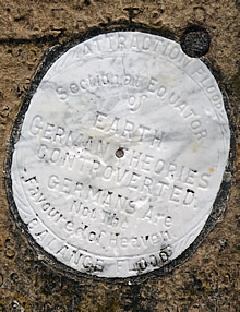
At the end of New Street is a tiny 19th century cottage with a curious set of inscriptions - local stonemason and amateur scientist William Johnson's ideas on "earth tides". The inscription is rather worn but sufficiently readable to determine that Johnson completely disagreed with the theory that these were due to the pull of the moon, describing it as "impossible".
Scalloway's fortunes were very much dependent on the fishing industry and the Blackness headland, stretching south on the east side of Scalloway, has long been a centre for fishing and trade.
When the Dutch herring fishery in Lerwick expanded in the 17th century, leading to phenomenal growth there, it caused a corresponding decline in Scalloway. This was reversed somewhat with the growth of cod fishing from Scalloway in the 19th century. Midway through the century a haddock fishery was established there too. At the end of the century herring again came to the fore, the boom times lasting until 1930.
Today fishing is still very important to Scalloway, with a salmon and mussel farming industry too. Its port also provides services for oil supply vessels operating west of Shetland.
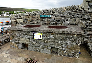
Drift nets used by the fishermen were traditionally made from hemp, but in 1880 this was replaced by cotton, which requires considerable maintenance. Down on Blackness two cutch kettles can still be seen, cutch being part of a maintenance process which began in India by boiling the bark of the acacia tree in water. The resulting thickened mass was poured into moulds, drying into hard brown blocks. These were transported and dissolved in hot water in the cutch kettles. The nets were "barked" in the solution at the start of the herring season and regularly during it too.
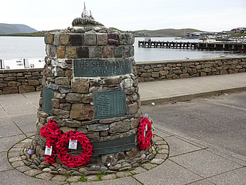
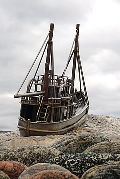
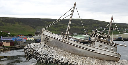
There is a lovely memorial to the "Shetland Bus" by the sea on Main Street. It commemorates those lost in the clandestine missions launched from Scalloway between 1942 and 1945, carrying men, munitions and equipment to Norway, returning with refugees. Previously the operations had departed from Lunna on the east side of mainland.
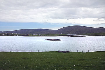
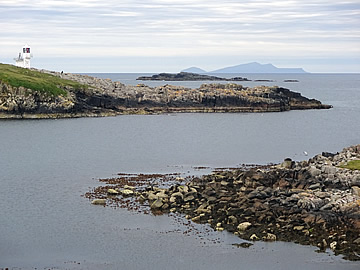
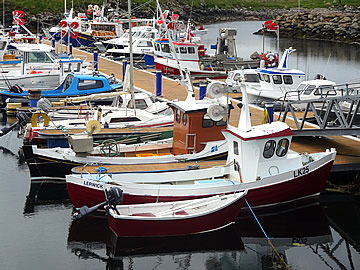
A bridge connects the island of Trondra with Mainland just south of Scalloway, a further bridge connecting Trondra to Burra Isle. Our guide book said that the village of Hamnavoe on West Burra "is something of a photographer's or artist's paradise". So we headed there and were somewhat disappointed. It has a small marina, and we spotted a rather twee shell-encrusted cottage, but otherwise we couldn't see what might be so special about the place. The cottages are not especially attractive - perhaps it looks better on a brighter day.
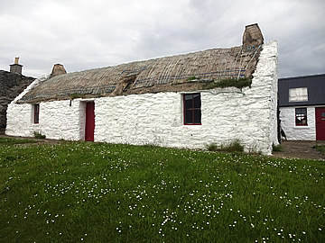
We continued south, all the way to Duncansclett, to see Easthouse, a restored 19th century croft, but it was closed, and looking through the windows it was just being used to store things.
